
- Brands Logos
- Logo Templates
- Icons
- Vectors
- Font In Logos
- Blog
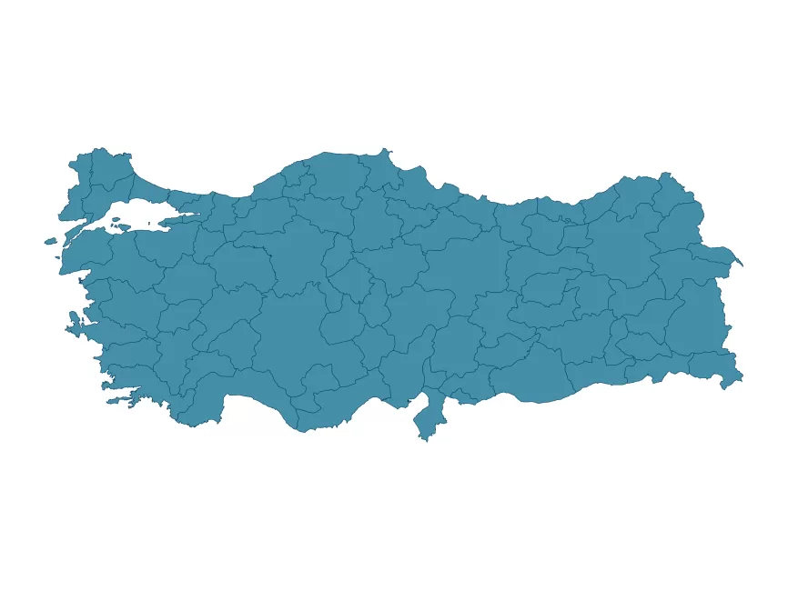
Türkiye Haritası vektörel çizim (SVG, Ai, EPS, PNG and PDF format) Free Download
The Vector Turkey Map is a digital map of Turkey created using vector graphics. Vector graphics are graphics that are defined by mathematical equations, rather than by pixels like traditional bitmap graphics. This means that vector graphics can be scaled up or down without losing quality, making them ideal for use in maps and other visual representations of data.
The Vector Turkey Map provides a detailed overview of Turkey's geography, including its borders, cities, and other landmarks. The map is customizable, allowing users to add or remove information as needed, and is often used in a variety of applications, including educational materials, tourism guides, and business presentations.
In addition to its detailed geographic information, the Vector Turkey Map can also include other data such as demographic information, transportation routes, and natural resources. This data can be useful for businesses and government organizations that need to analyze and visualize information about Turkey.
The Vector Turkey Map is a useful tool for anyone who needs to visualize and understand the geography and data of Turkey. Its high level of detail and customization options make it a versatile resource for a wide range of applications.